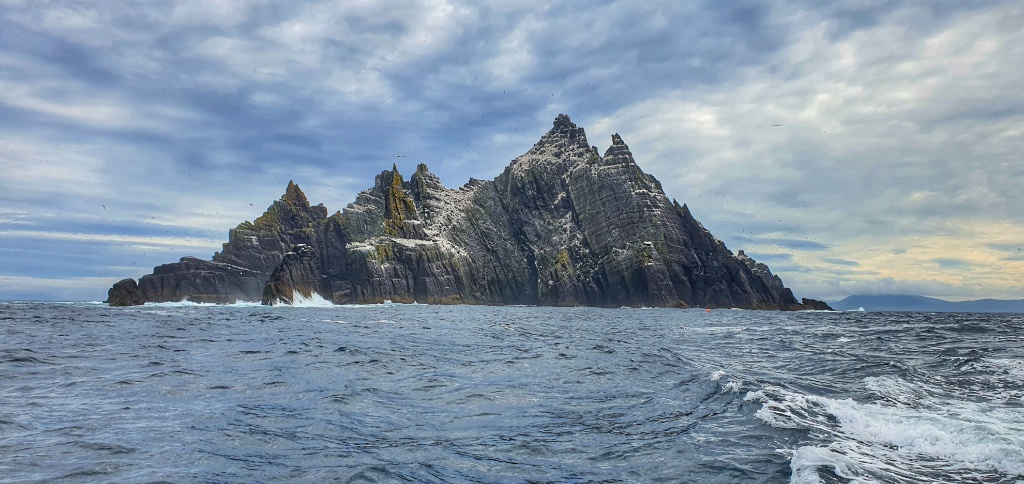
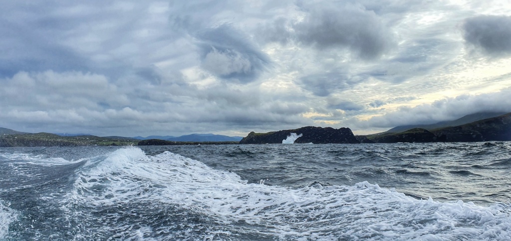
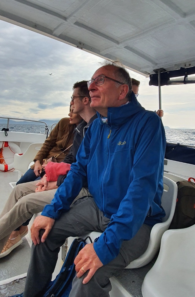
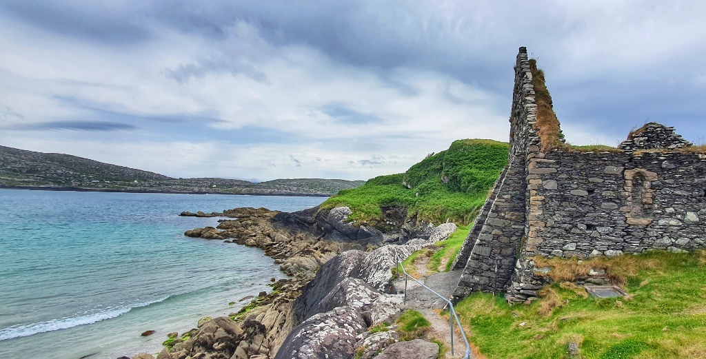
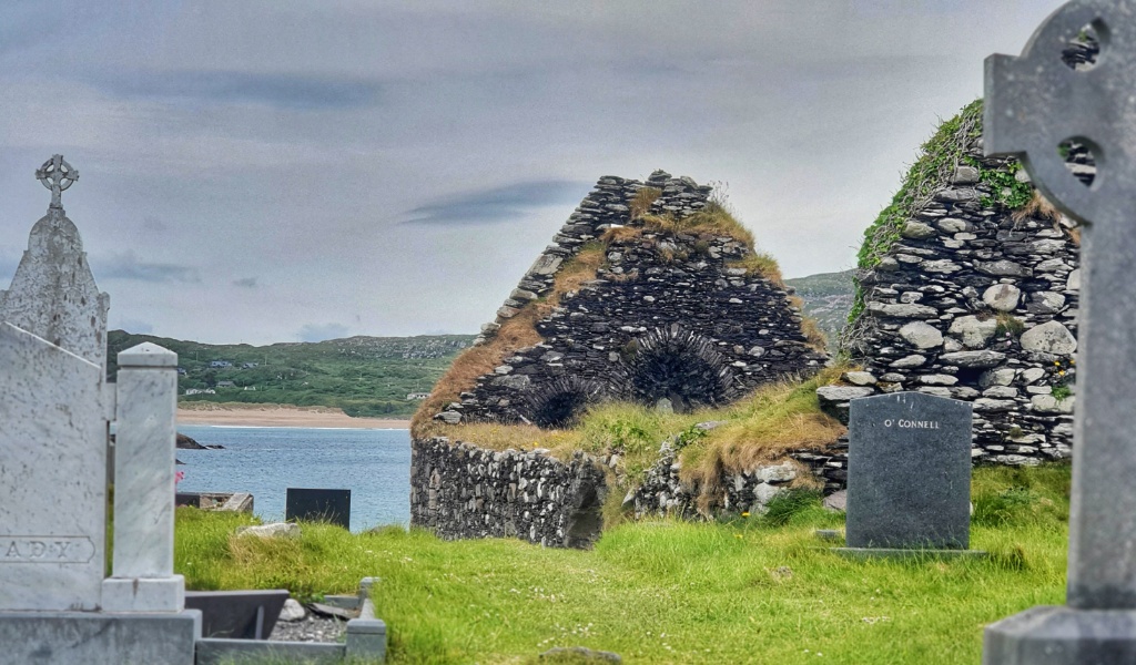
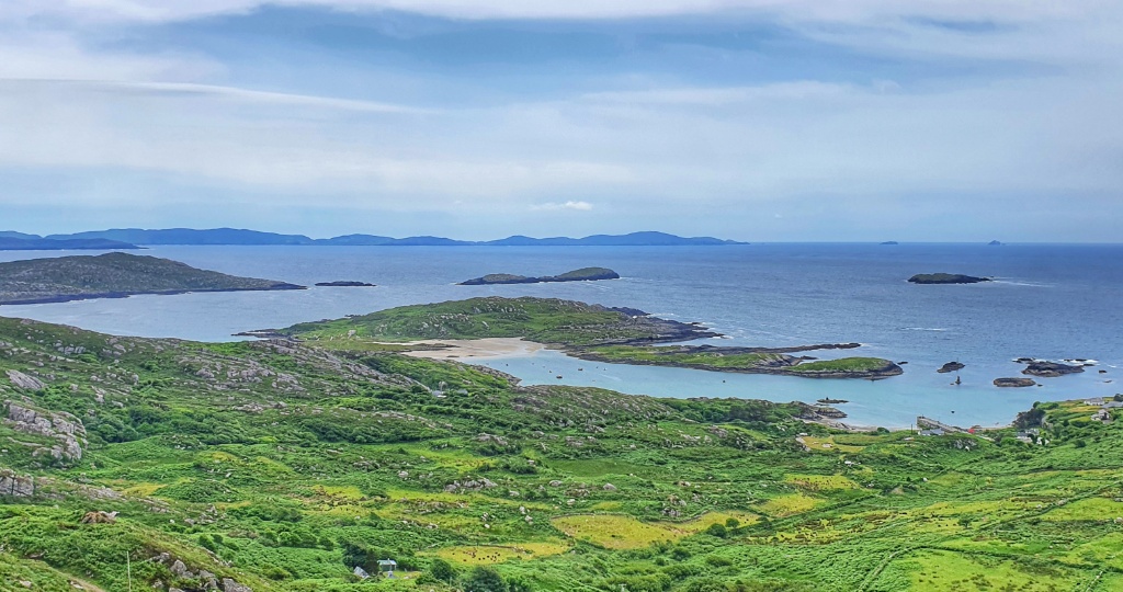
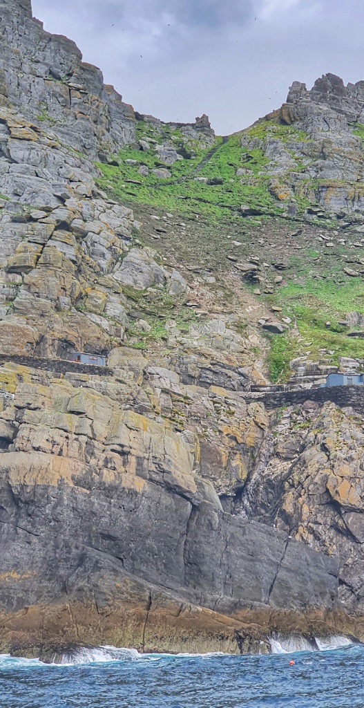
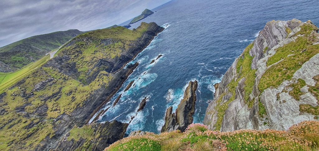
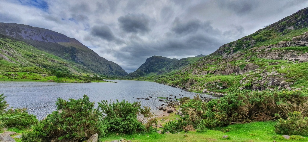
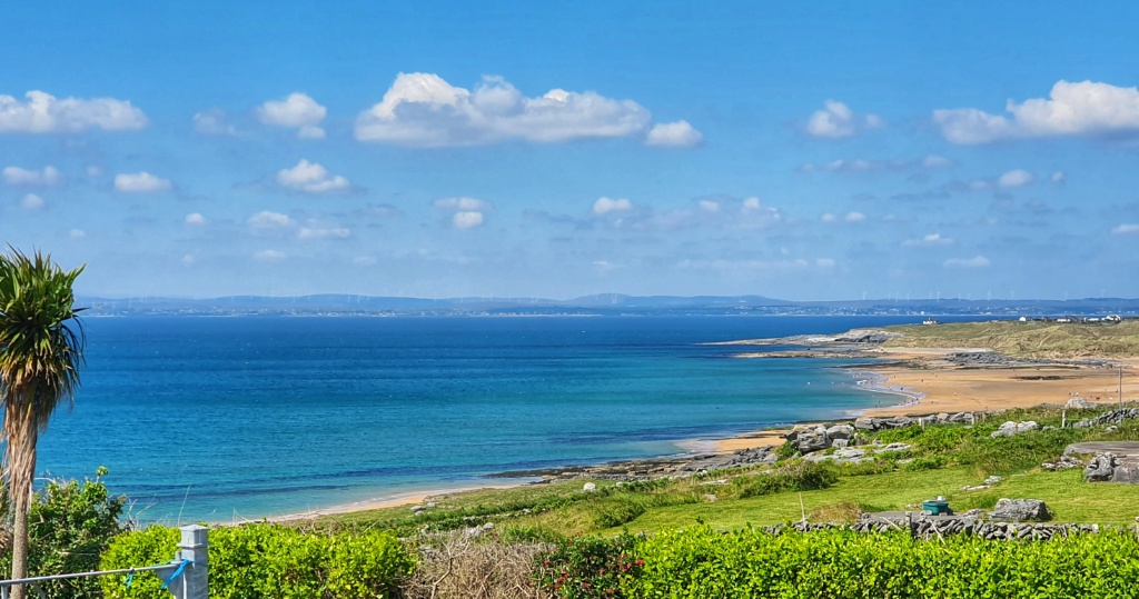
We know that rain is coming but not today. Today we basked in glorious sunshine under blue blue skies. We knew it was going to be a glorious day so we planned a walk that would take us back to the coast but that would also turn inland across an area known as The Burren. The Burren National Park covers 1% of the land surface of Ireland and is approximately 360 square kilometres in size.
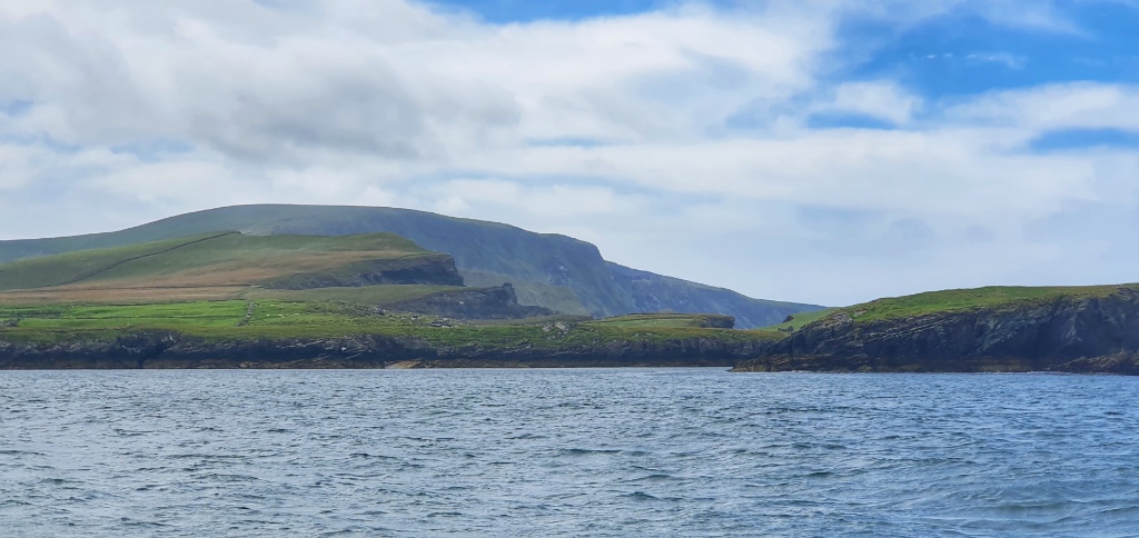
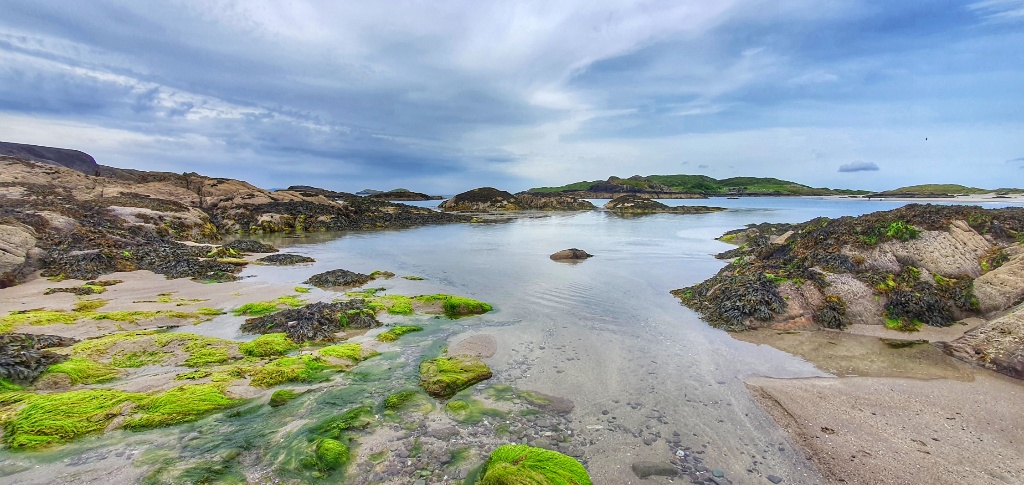
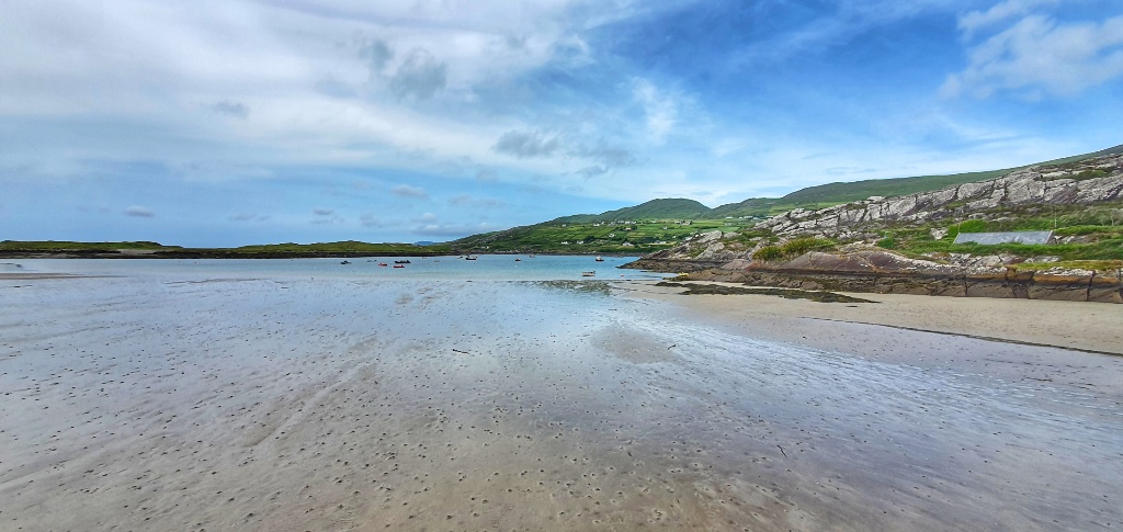
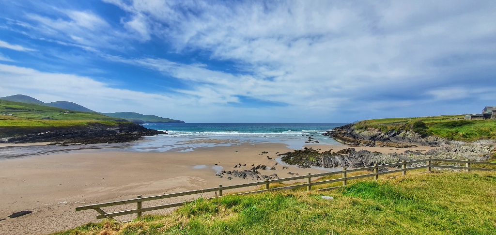
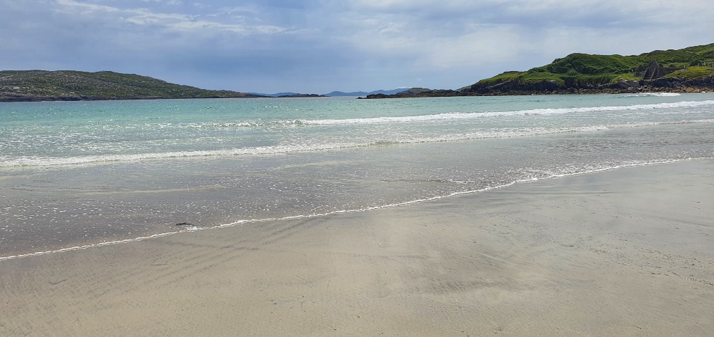
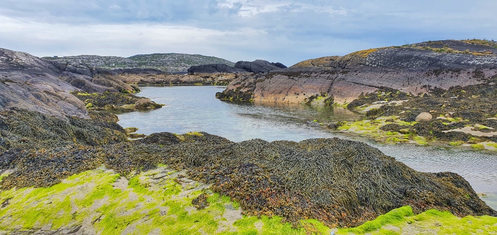
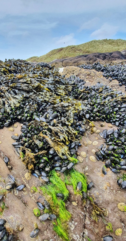
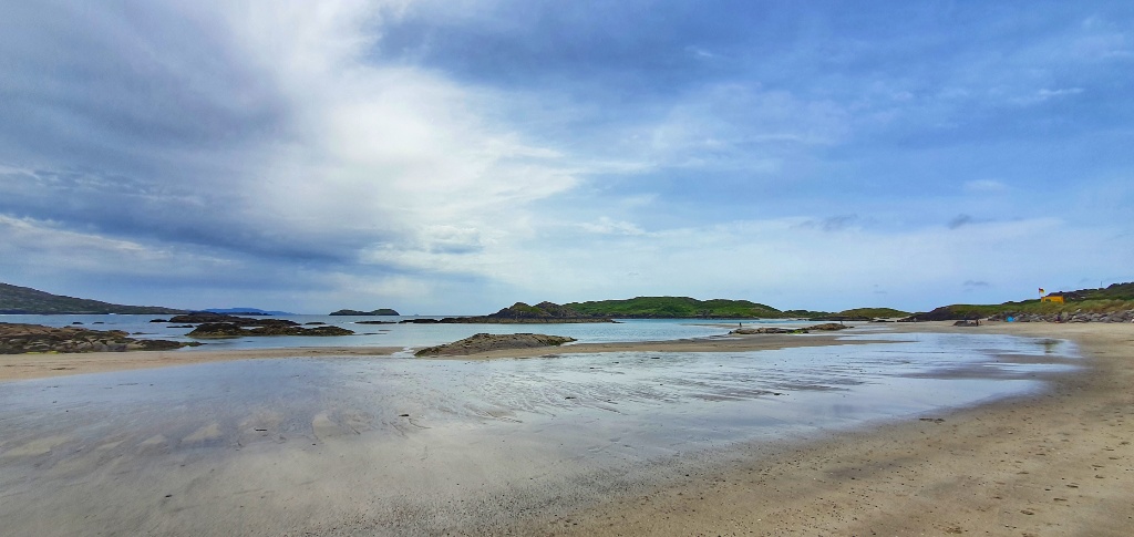
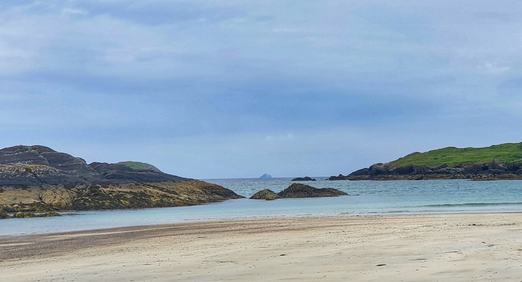
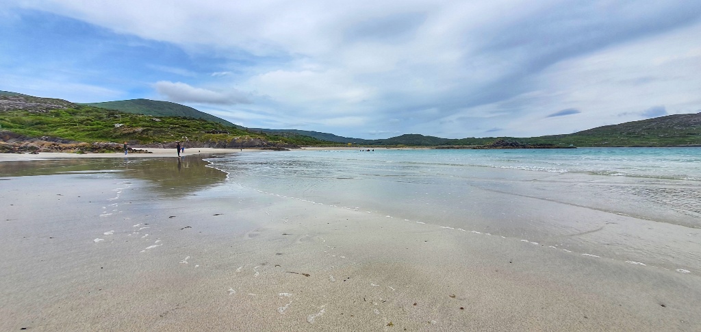
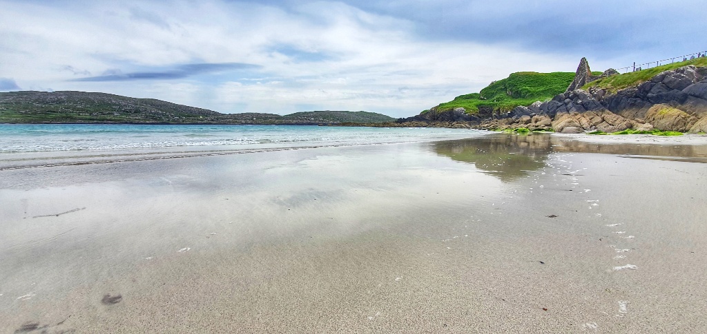
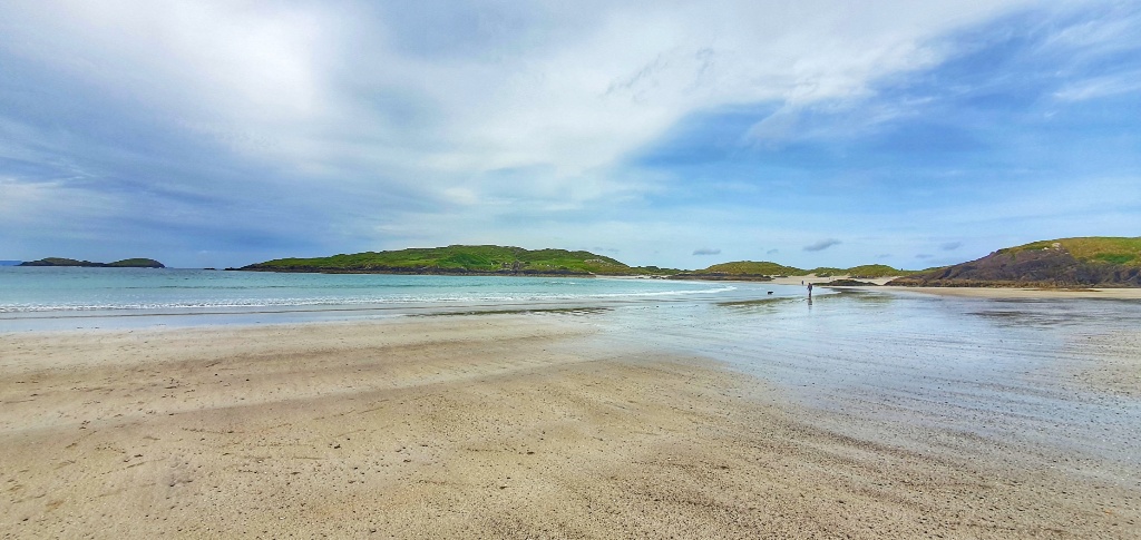
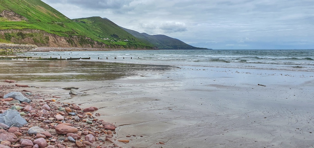
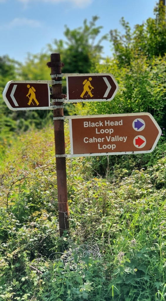
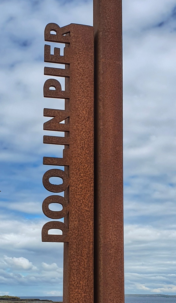
Our walk started at Fanore, fainne oir in Gaelic means ring of gold, with reference to the beautiful sandy beaches here. The Caher Valley runs down to Fanore between Slieve Elva and Gleninagh and the Caher river is one of the few rivers in the Burren, which cuts its way down through the rock and glacial deposits and enter the sea at Fanore. The word “Burren” comes from an Irish word “Boíreann” meaning a rocky place which is extremely appropriate when you consider the lack of soil and the extent of exposed limestone, such as we walked on yesterday. In 1651 a Cromwellian Army Officer named Ludlow remarked, “of this barony it is said that it is a country where there is not water enough to drown a man, wood enough to hang one, nor earth enough to bury them. This last is so scarce that the inhabitants steal it from one another and yet their cattle are very fat. The grass grows in tufts of earth of two or three foot square which lies between the limestone rocks and is very sweet and nourishing.” Obviously Ludlow failed to be won over by the charms of Ireland… I think he should have walked with us today and he would have fallen in love with the area!
Continue reading →