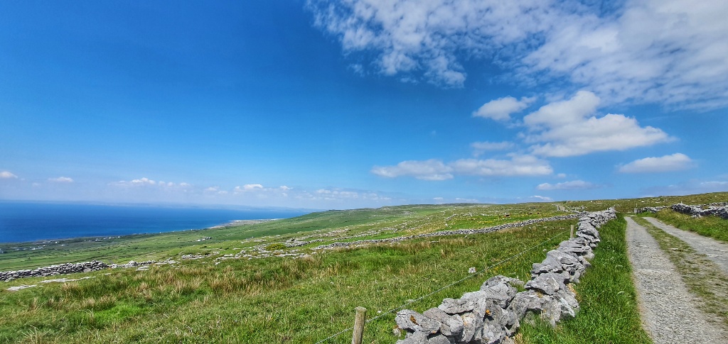
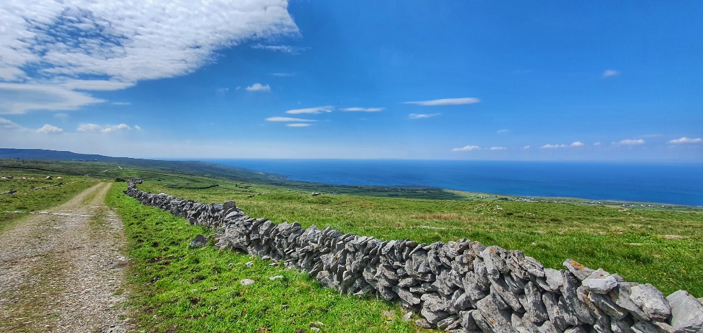
We know that rain is coming but not today. Today we basked in glorious sunshine under blue blue skies. We knew it was going to be a glorious day so we planned a walk that would take us back to the coast but that would also turn inland across an area known as The Burren. The Burren National Park covers 1% of the land surface of Ireland and is approximately 360 square kilometres in size.
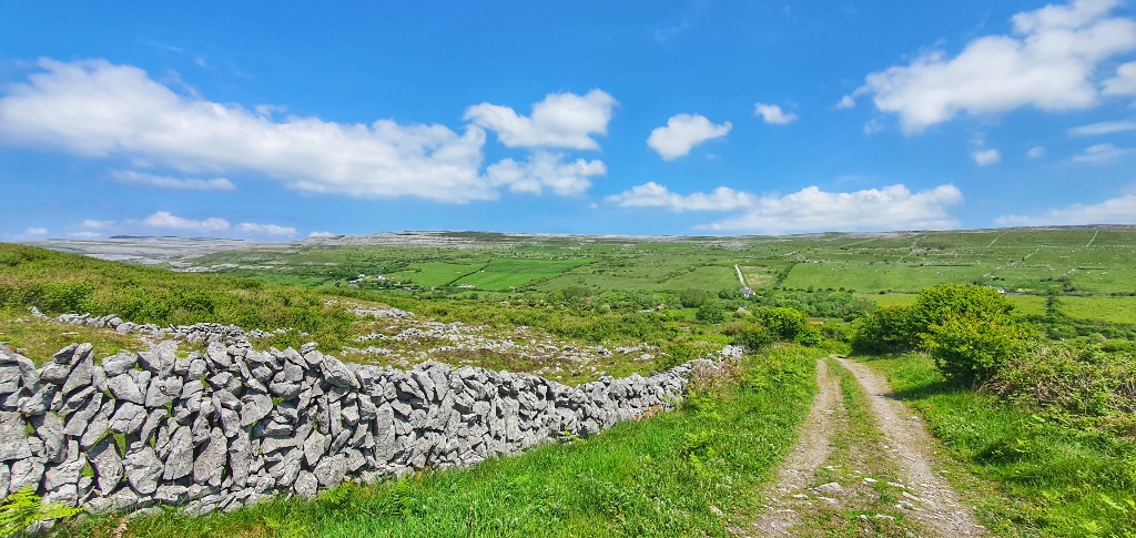
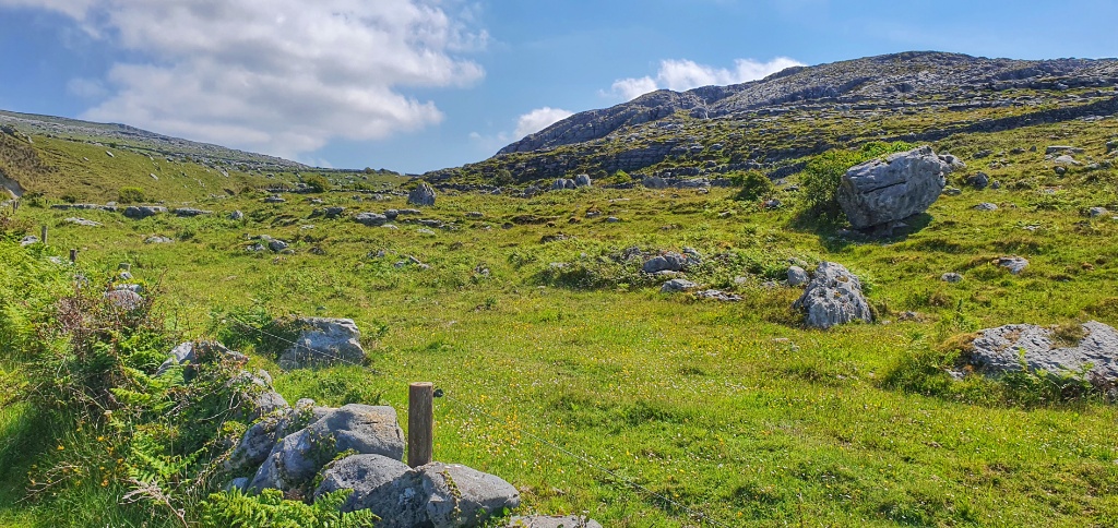
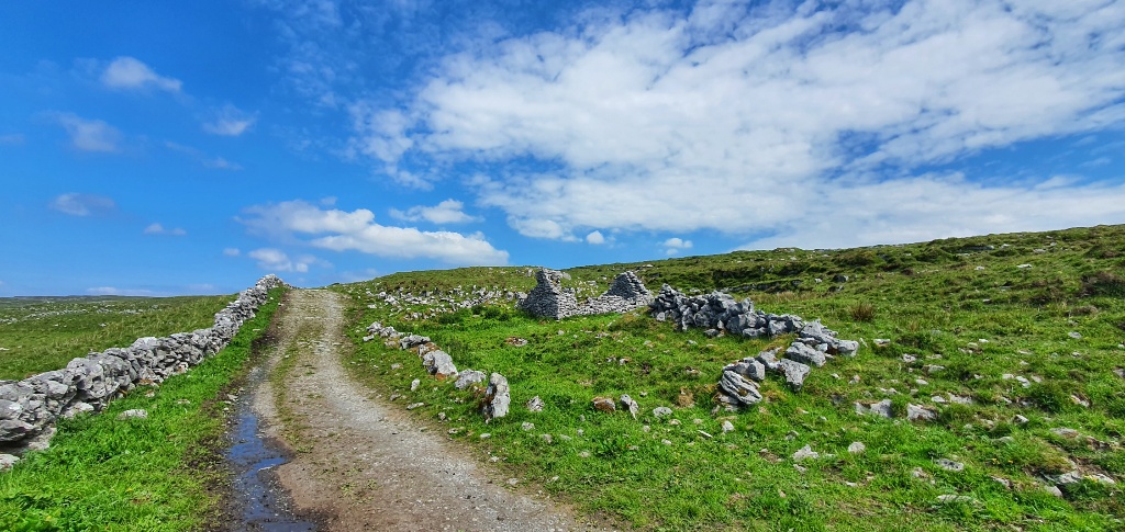
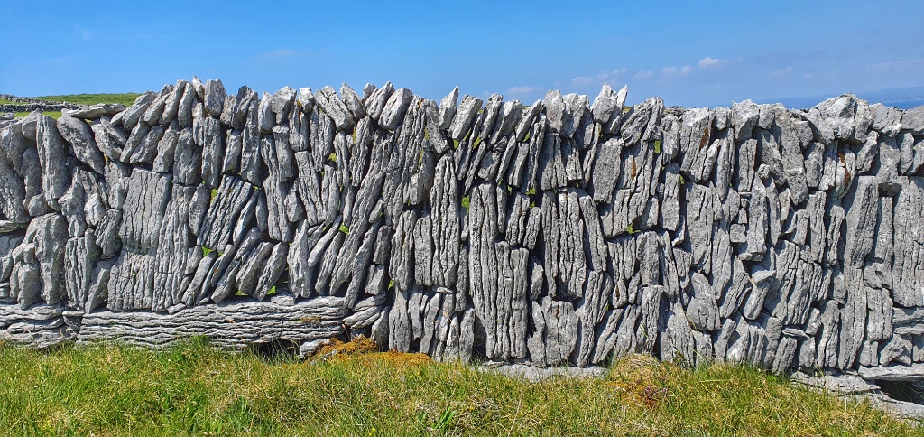
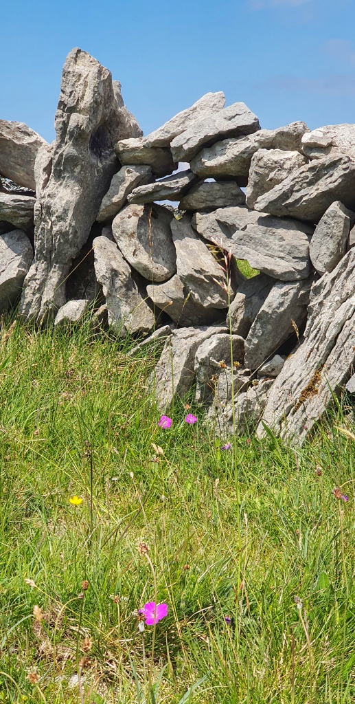
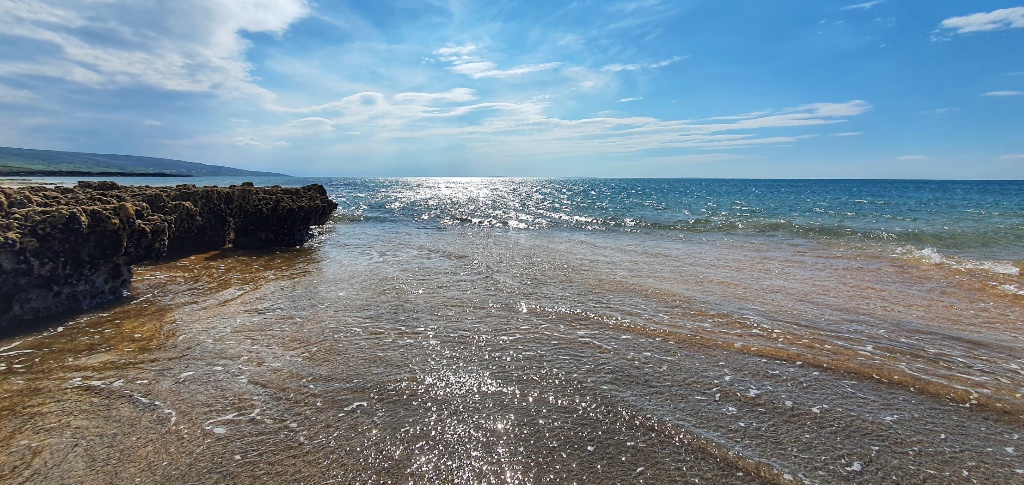
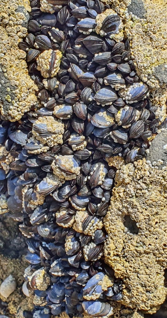
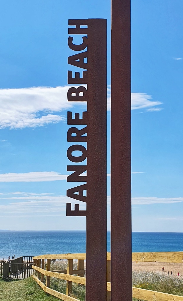
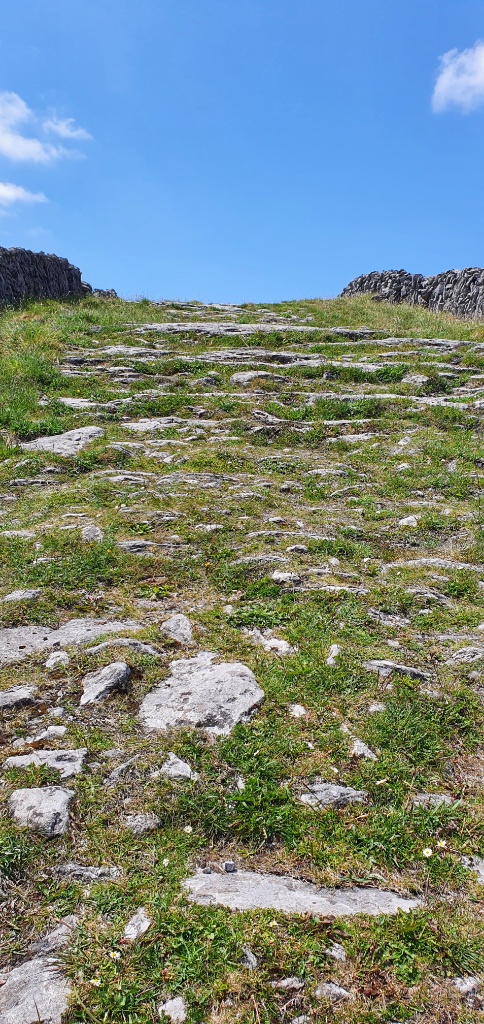
Our walk started at Fanore, fainne oir in Gaelic means ring of gold, with reference to the beautiful sandy beaches here. The Caher Valley runs down to Fanore between Slieve Elva and Gleninagh and the Caher river is one of the few rivers in the Burren, which cuts its way down through the rock and glacial deposits and enter the sea at Fanore. The word “Burren” comes from an Irish word “Boíreann” meaning a rocky place which is extremely appropriate when you consider the lack of soil and the extent of exposed limestone, such as we walked on yesterday. In 1651 a Cromwellian Army Officer named Ludlow remarked, “of this barony it is said that it is a country where there is not water enough to drown a man, wood enough to hang one, nor earth enough to bury them. This last is so scarce that the inhabitants steal it from one another and yet their cattle are very fat. The grass grows in tufts of earth of two or three foot square which lies between the limestone rocks and is very sweet and nourishing.” Obviously Ludlow failed to be won over by the charms of Ireland… I think he should have walked with us today and he would have fallen in love with the area!
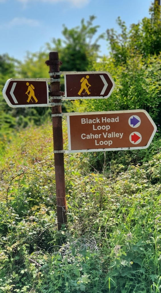
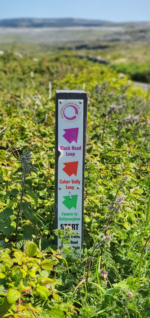
We were going to follow a trail called the Cahar Valley Loop, a 14 kilometre trail that started and ended in the beach car park. We set off with full water bottles, a bountiful picnic and a flask of hot tea and we were looking forward to our adventure. I know that some of you will be hoping for a tale of struggle or mishap but truth be told it was simply a glorious hike.
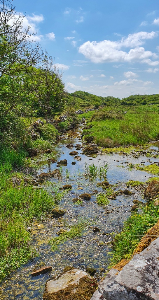
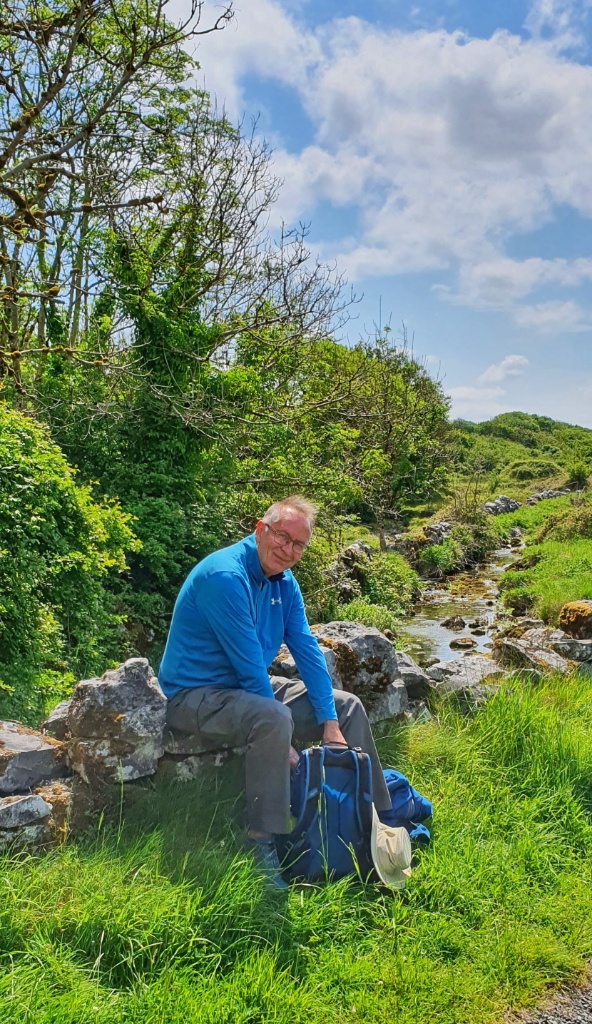
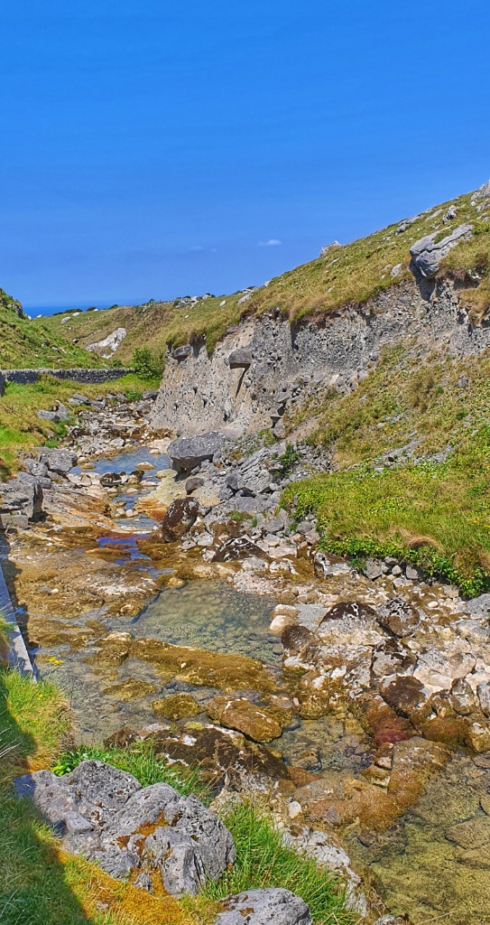
At first we followed a small country road. There wasn’t a lot of traffic but it was good to come off and head off across country. We followed the small river, which was crystal clear, we found a shady spot under a tree for a short break before heading off up over the hills on the edge of the Burren.
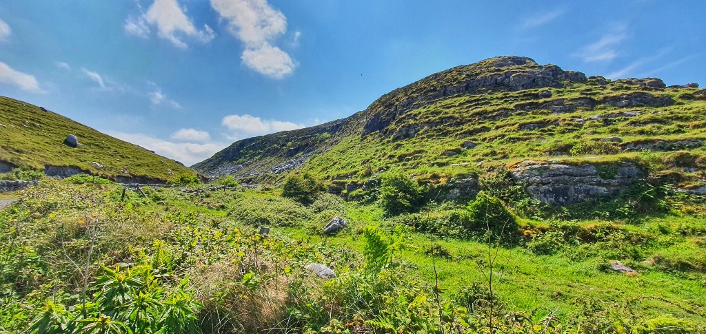
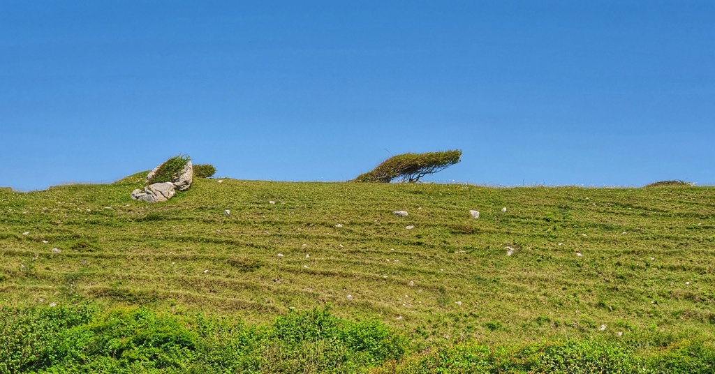
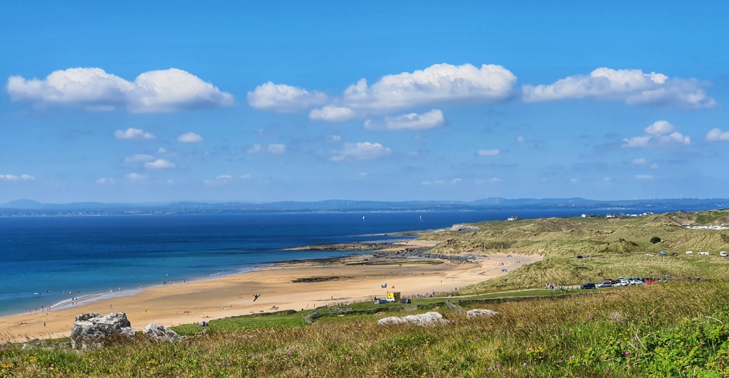
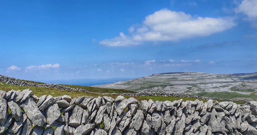
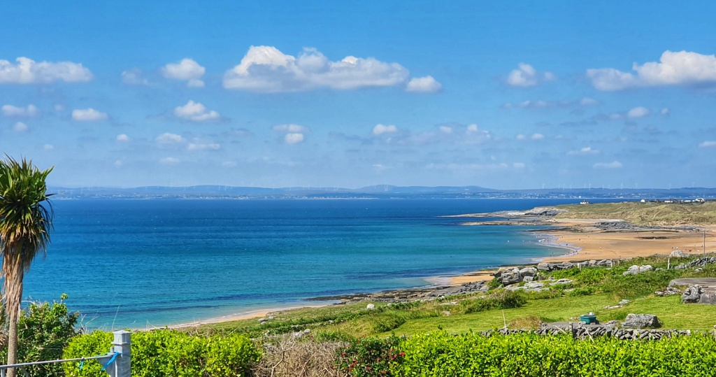
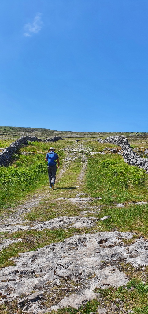
We had a 300 metre hill to climb and my legs were still strong from my 700 kilometre hike across Spain so 300m in elevation felt pretty flat to me. It wasn’t quite the same for Gerry. As we walked higher and the sun got hotter he was feeling the strain. We stopped for a while and he changed from long sleeves to short and zipped of his trouser legs to cool himself down. And once he felt refreshed we carried on… up and up over the hill until the sea came into view and we were rewarded with amazing views all around.
At the top we decided to head a little off the path and found a suitable place for a picnic. Under the shade of a little natural stone shelf, away from the other day trippers out walking, we enjoyed sandwiches and boiled eggs and hot tea and of course amazing views! And once we’d eaten our fill we packed away and headed off, there were still lots of kilometres still to walk!
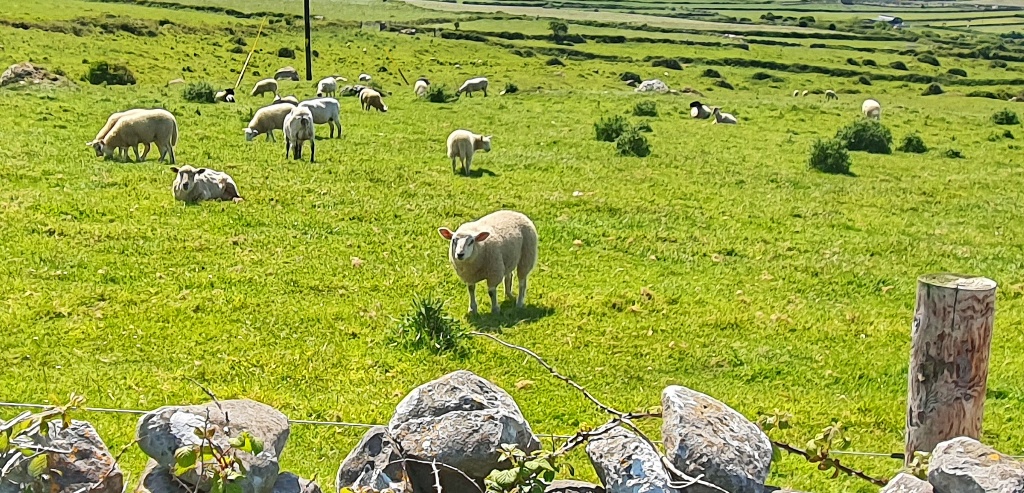
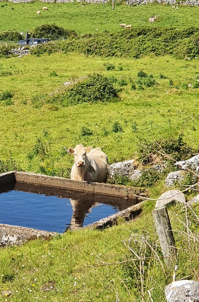
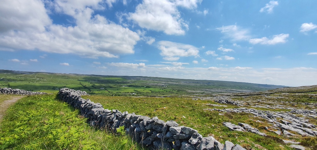
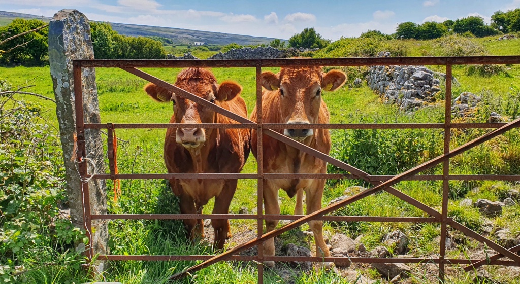
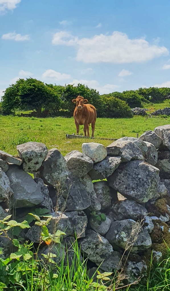
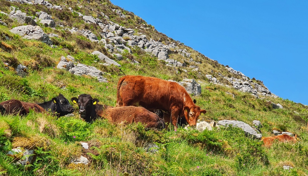
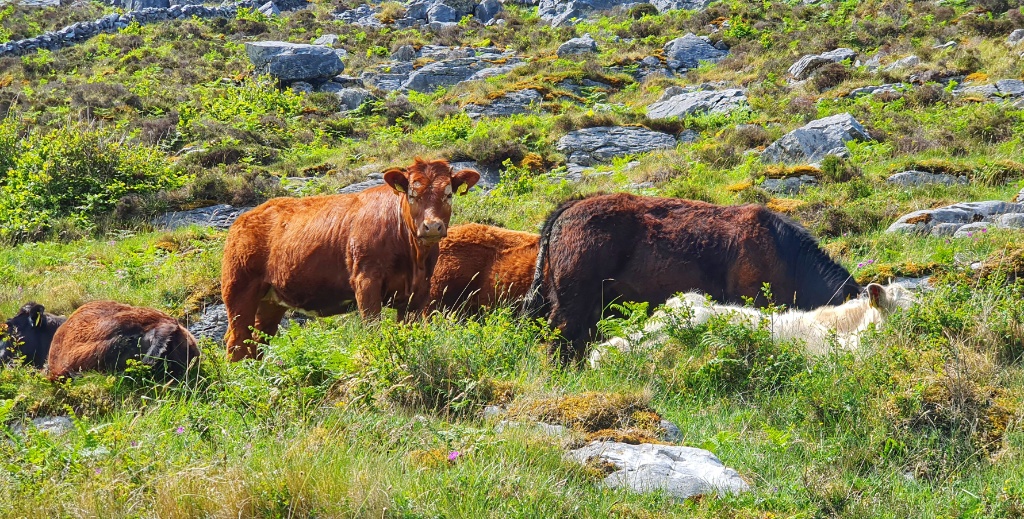
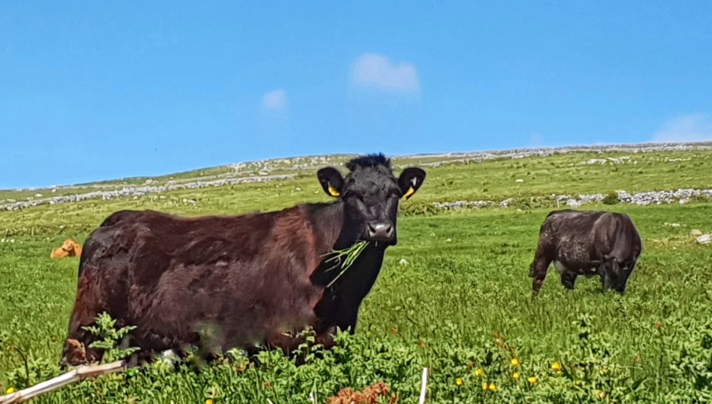
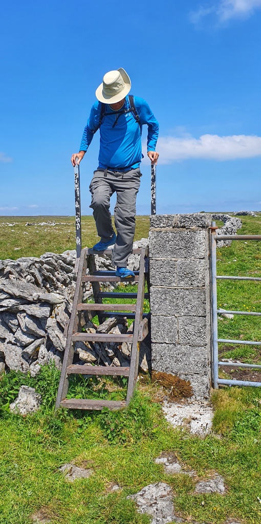
Onwards we went, along an easy trail intersected with lots of cattle grids and stiles (these consisted usually of a small ladder over a wall). I’m not the biggest fan of cows when there are no fences so I was on high alert. Most of the time though the cows were well away from the trail and there were natural steps and old fences between us. However, inevitably, we came to a section where there was no fence. The cows were on or beside the path. I hate this. I wish I was more brave but I am so afraid of cows. Gerry coaxed me on. I measured up the wall beside me and decided that if needed I could jump over to safety. Quick quick quick we marched, beyond the cows and at a distance where I felt I could relax.
However, on reaching the next stile we noticed that our Caher Valley Trail red arrows had disappeared. Had we missed a turn? Had I focused so much on the cows that we inadvertently forgot to look for arrows? Thankfully I had the trail on my phone so we paused to see if we were on the right track. It wasn’t clear where our trail was but we could see that if we followed the new purple arrows we would find a road that would take us back to the beach car park. So we continued onwards. At the junction of the road we found our Cahar Valley red arrows back again. I dont think we ever left the trail but the signs are a little confusing here so it was reassuring to know we were still on the right path.
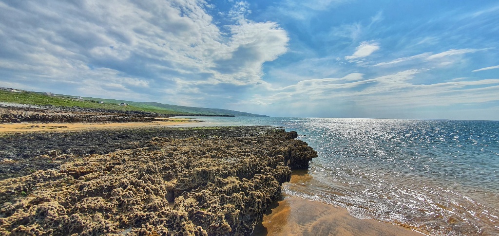
We continued walking down. Taking photos of the amazing sea views and the cows and the views… did we mention those views! Oh it was another glorious walk.
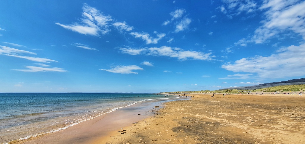
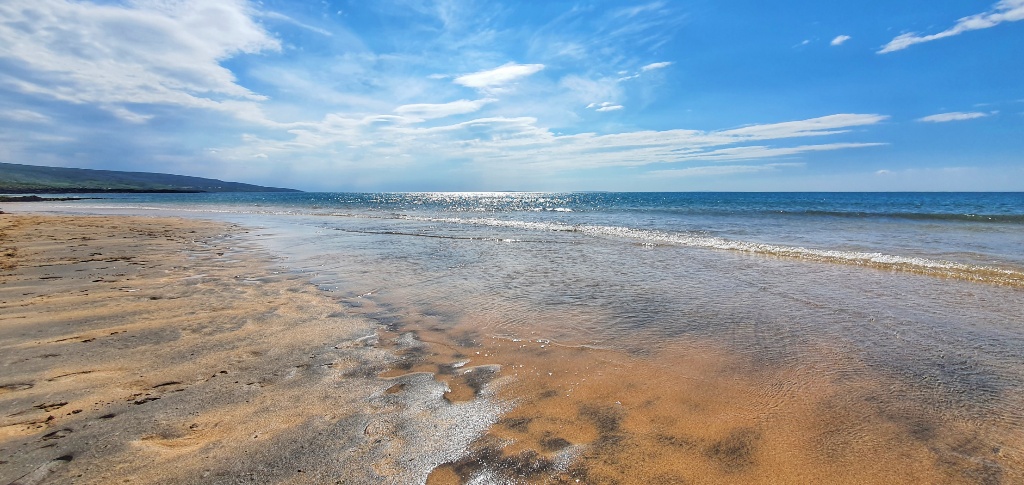
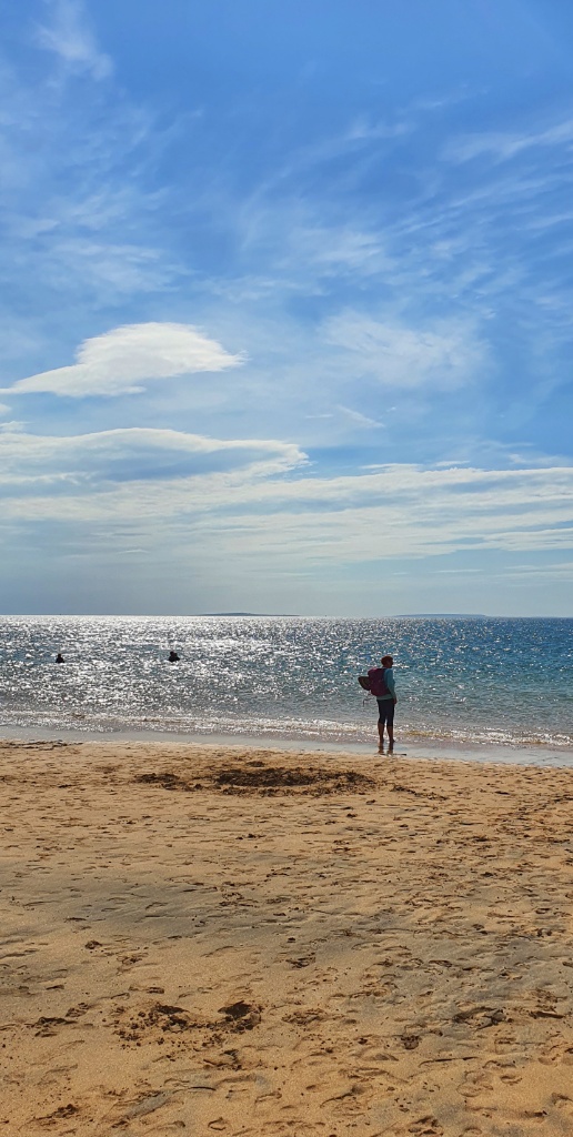
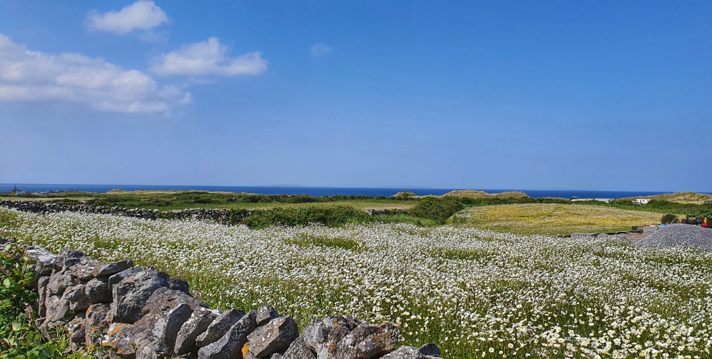
We returned to the carpark and headed down to the beach. We sat on a little wooden bench overlooking the sand and people watched as we finished our picnic. It’s a Bank Holiday weekend and whilst the car park was full this enormous beach still felt empty.
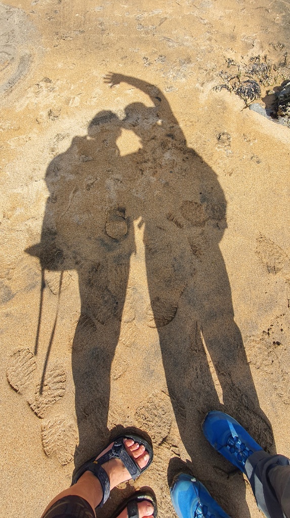
We walked down to the water and walked along the sea line, I paddled in the surprisingly warm Atlantic and we just enjoyed being there. There were a number of jellyfish washed up on the beach so I was glad i had my Teva sandals on. We carried on walking until the sand ran out, then we turned around and walked back again. We managed close to 16kms today and every bit of them (even the cows) were bloomin’ marvellous!